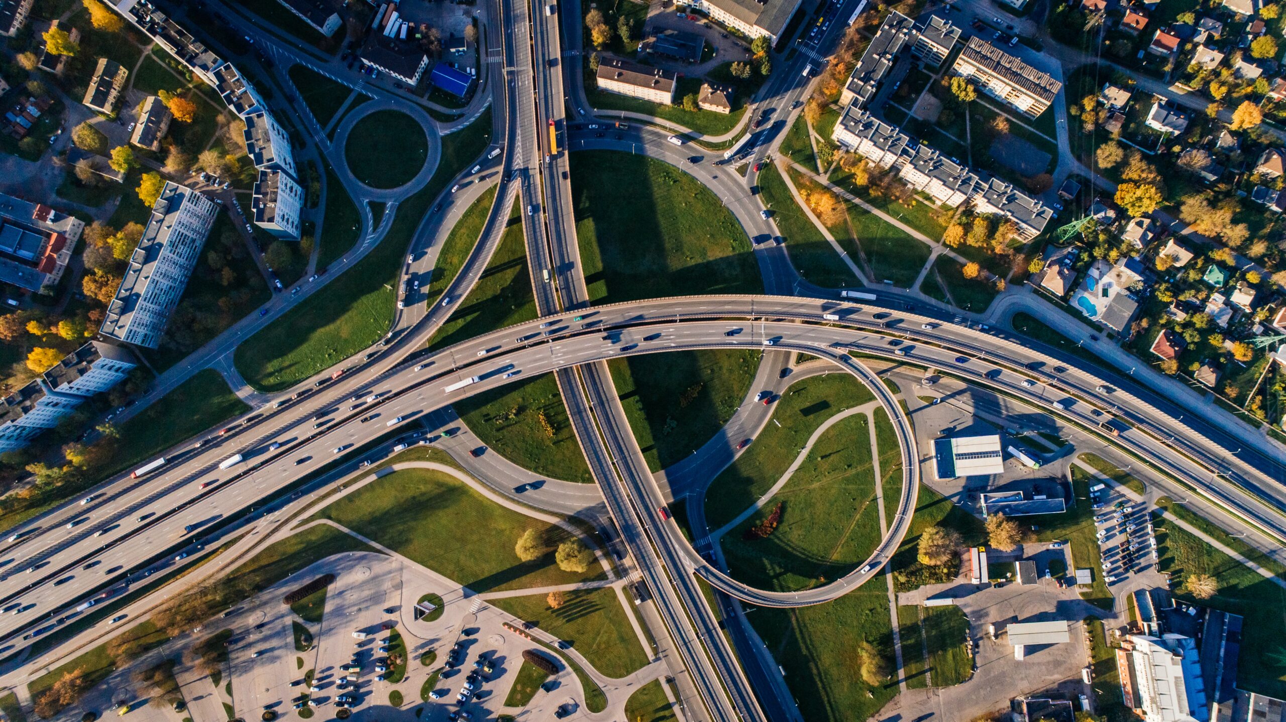
Spatial Planning and Smart City
Development and integration of cadastral management applications Project management support for ISO:19152 LADM (Land Administration Domain Management)
Georeferencing and visualization of urban and rural parcels thanks to very high resolution satellite pictures
Dematerialization of land titles and certificates thanks to blockchain smart contracts
Certification of parcel and ownership data by blockchain
Integration with the blockchain of land use geo-data secured by Decentralized Oracles Blockchain
Securing SDI (Spatial Data Infrastructure) with our anti-corruption cybersecurity solutions
Development, integration and management of development master plans (local urban plans, land regularization)
Development, integration and management of municipal addressing system.
Infrastructure modeling by BIM (Building Information Modeling)
Visualization of all smart-data by hypervision


